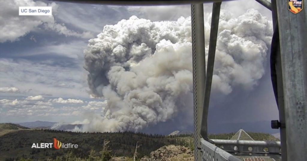
SAN DIEGO (KGTV) — California firefighters use many tools and technologies to help fight fires, and some of the most useful have emerged recently.
The ALERTWildifre system is a grid of cameras spread around western states that give fire crews an immediate look at new fires. It was started by three schools: UC San Diego; the University of Nevada, Reno; and the University of Oregon.
“Students are involved, engineers, professors. So it’s been born out of the universities,” said Neal Driscoll, a professor at Scripps Institution of Oceanography UC San Diego and also the California Director of ALERTWildfire.
Driscoll said the cameras launched in 2017 in partnership with San Diego Gas and Electric. Since then, they’ve been steadily adding more cameras. There are now 850 cameras in California alone, with another 200 planned.
IN-DEPTH: California drought could make housing crisis worse
When fire crews get a report of a fire, they can tap into this camera system to get an immediate look at the potential flames. The cameras can see 70 miles on a clear day and 110 miles at night with near-infrared cameras.
The real-time visual gives crews the upper hand.
“It makes a big difference to see and know that something is actually there instead of waiting for them to get on scene,” said Andrew King, Emergency Command Center Fire Captain.
King said before these cameras, they had to wait until the first crews arrived to get a real-time look at fires. At that point, they made the call to send a larger response or not, depending on the size of the fire. With these cameras, they can see how big a fire looks immediately and make the call to increase response much faster, which helps them attack faster.
“It really increases the response time for both ignition, for early suppression,” said Driscoll.
RELATED: Maps show stark picture of drought levels across western U.S.
These cameras can be accessed by anyone in the public. Firefighters have priority with moving the cameras around, but community members can open up ALERTWildfire’s website and see every camera. This is a way for community members to also have a live view of fires at all times.
CAL FIRE has another new technology being used for the first time this fire season: software that creates a time-lapsed visual of the potential growth of a fire if it is not tackled.
Suzann Leininger is one of about two dozen new Research Data Specialists hired by CAL FIRE in the last six months to fill the new job. Leininger creates these maps for CAL FIRE San Diego.
She said the software uses the weather forecast and knowledge of an area’s topography to create these maps. The maps show what a fire might look like in one hour or even 40 hours if it’s not fought. In addition, it includes data on how many structures/homes might be impacted if the fire takes that route, and how many people live in that area. This helps firefighters know what kind of evacuations to put in place.
RELATED: Report finds urban sprawl is fueling devastating wildfires
“This is just intel that gives them a good idea of what is in the way potentially if this doesn’t get stopped,” said Leininger.
The 2021 California wildfire season is off to a bad start. Not only are drought conditions covering all of the state to some capacity, but more than double the acreage has burned this year compared to the same time frame last year.
