
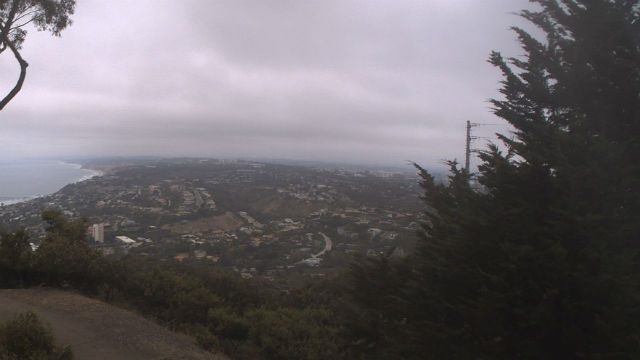

An unseasonably cool upper-level trough was expected to push through San Diego County Saturday and Sunday, keeping a deep marine layer and cool conditions west of the mountains with areas of drizzle and light rain, the National Weather Service said.
The winds and very low humidity were expected to increase fire danger for the desert Saturday, until moistening and cooler air arrives on Sunday. A wind advisory was issued from 2 p.m. Saturday to 5 a.m. Monday for mountains and deserts, forecasters said.
Some light drizzle was measured in the northwest county Saturday morning, the NWS said. Clouds will be tough to clear but should break partially midday.
Coastal high temperatures on Saturday were expected to be 65-70 degrees with overnight lows of 53-58 and a chance of showers and patchy drizzle. Valley highs will be 69-74 with overnight lows of 46-54 and a slight chance of patchy drizzle.
Mountain highs were expected to be 66-76 with overnight lows off 39-44 and a slight chance of patchy drizzle. Desert highs will be 93-98 with overnight lows of 55-62 and 45 mph winds blowing sand and dust.
Coastal slopes were predicted to have measurable rains on Sunday up to around a quarter-inch, or a little more in the wettest upslope areas.
A weak upper high pressure was expected to return Tuesday and Wednesday for warmer and dry conditions, especially in inland areas.
Another storm system was predicted to push through central California midweek, deepening a marine layer for coastal areas and returning cooler weather along with mountain and desert winds on Thursday, the NWS said.
–City News Service
Show comments