

A deepening trough Sunday was predicted to keep strong and gusty winds over San Diego County mountains and deserts, and ensure another cool day, the National Weather Service said.
The marine layer deepened quite a bit overnight into Sunday, filling the entire coastal basin and even creeping into the edges of the deserts, forecasters said.
An eddy offshore continued Sunday morning, where some light showers were observed over southern San Diego County. These are expected to diminish by noon, as clouds struggle to clear parts of the coast Sunday afternoon.
Gusty winds of more than 55 mph occurred Saturday night and were expected to ramp up again Sunday afternoon and evening. Areas of blowing dust are expected in the deserts.
High temperatures in coastal areas Sunday are expected to reach 70 degrees, 72 in the valleys, 71 in the mountains, and 91 in the deserts, according to the weather service.
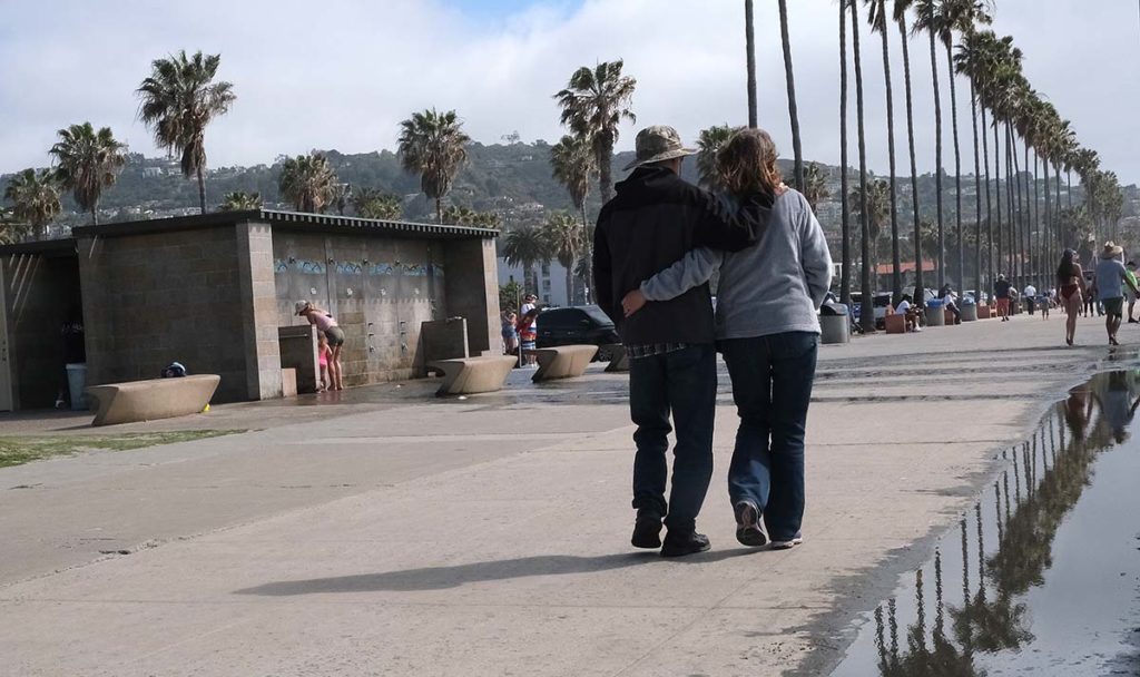
At county beaches Sunday, a south swell was expected to generate elevated surf, with sets of 4 to 6 feet. Highest surf will impact south-facing beaches, where local sets to 7 feet will be possible. Rip current risk will be high, leading to dangerous swimming conditions.
For Monday, changes were expected as the trough moves east and surface winds turn northerly and gusty over northern portions of the area. This was expected to bring a return of drier air and signal a warming trend that might continue through Wednesday.
Across San Diego County, winds will remain onshore, but weaker, and the marine layer influence will shrink back toward the coast. Daytime highs were expected to gradually increase to 6-12 degrees above average by Wednesday.
— City News Service contributed to this article
Show comments