Elevated fire weather conditions were expected Sunday in San Diego County as Santa Ana conditions were expected to bring gusty northeast winds over the mountains and foothills, the National Weather Service said.
The winds were forecast to weaken later Sunday, but very dry and warm conditions were expected to linger inland.
Cooling was expected to begin along the coast on Monday and progress inland through midweek as onshore flow strengthens ahead of another trough dropping south through Nevada, forecasters said.
A deepening marine layer may mean more clouds and fog over the coastal basin, with some drizzle possible by Wednesday night, the NWS said.
Temperatures were expected to be below average midweek, then rise back to average and above into next weekend.
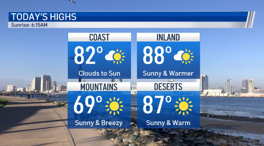
High temperatures along the coast Sunday were expected to be 77-82 degrees with overnight lows of 50-56, forecasters said. Highs in the western valleys will be 83-88 and near the foothills 78-83 with overnight lows of 50-56.
Mountain highs were expected to be 68-75 with overnight lows of 43-52. Desert highs will be 86-91 with overnight lows of 56-66.

Low clouds and fog were rapidly dissipating Sunday morning near the coast as northeast winds increased.
“Some of that wind will mix down to the surface, especially along the foothills, helping to dry and rapidly warm the atmosphere,” forecasters said. “Very low relative humidity in these areas, coupled with the locally strong winds will marginally increase the wildfire threat.”
Monday was forecast again to be very warm and dry, but the Santa Ana winds should weaken considerably.
Humidity inland was expected to remain near or below 15% with daytime high temperatures close to Sundays. Temperatures near the coast were predicted to begin to moderate as a sea breeze develops Monday afternoon.
Northwesterly winds were forecast to gust around 20 knots in the outer coastal waters Sunday evening and again Monday evening.
